Hidden in the southeastern corner of Greater London lies a geographical curiosity unknown to most Londoners. In the London Borough of Bromley, southeast of South Street, sits the point furthest from the River Thames within the capital’s boundaries. This location, situated near the rural edge where Bromley meets Kent, represents the maximum possible distance from London’s defining waterway at approximately 17 kilometers (10.5 miles) as the crow flies. According to Ordnance Survey confirmation, this spot highlights London’s extensive reach from its original riverside settlement. The area’s affordability is enhanced by its location within the social housing developments initiative, which aims to provide lower-cost housing options in London.
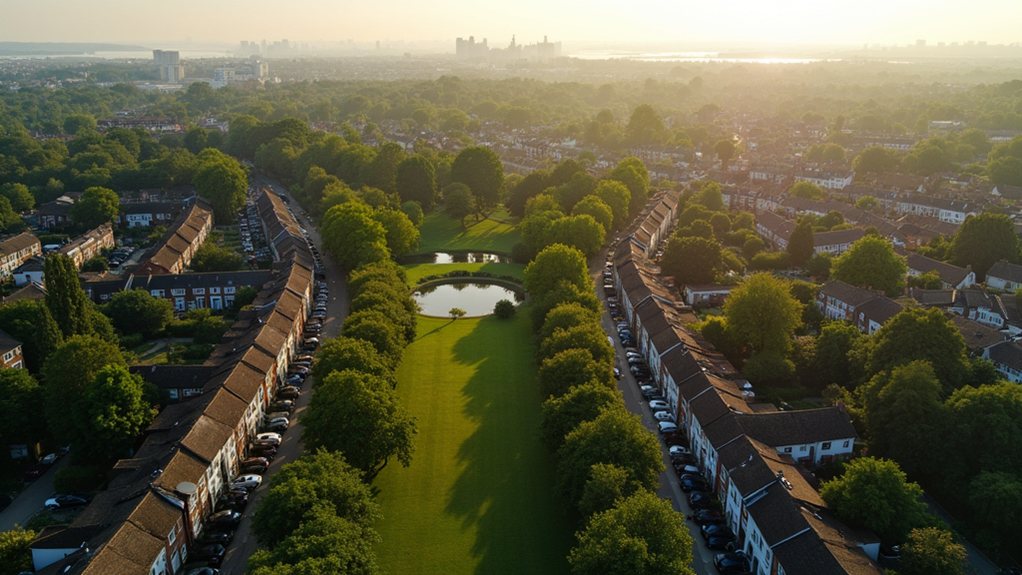
The area falls within or near the CR6 postcode, in the Biggin Hill–Downe corridor of outer southeast London. Despite its proximity to the Kent county line, this spot remains firmly within Greater London’s administrative boundaries. This location is not far from the London/Kent/Surrey Triple Point at Rag Hill, which is marked by a boundary stone indicating where different administrative regions meet. Unlike the dense urban fabric that characterizes central Thames-side districts, this location features higher, open countryside typical of London’s greenbelt.
This maximum distance has been calculated using digital mapping tools, measuring the straight-line distance to the nearest point on the main Thames channel. The measurement confirms that this Bromley location exceeds the distance from the Thames of any point in other outer boroughs such as Hillingdon, Enfield, or Havering. In contrast, Rotherhithe Street runs parallel to the River Thames and is recognized as the longest street in London at approximately 1.5 miles.
The surrounding landscape is distinctly semi-rural, forming part of the North Downs fringe with its gently rolling hills and elevated terrain. The local road network consists primarily of South Street and narrow country lanes that experience much less traffic than inner London thoroughfares. Nearby settlements include Biggin Hill, Downe, and scattered hamlets, creating a village-edge atmosphere.
Land use in the vicinity includes agricultural plots, pasture, and scattered residential properties, characteristic of outer Bromley’s protected Green Belt zone. The identification of this point highlights how deeply the Thames penetrates London’s overall shape, leaving only a small sector maximally distant from the river.
For Londoners accustomed to the Thames being a central part of city life, this remote corner offers a different perspective on the capital’s diverse geography, where the river’s influence finally fades into the countryside.