
Several surprising weather maps are warning Britons about the potential for snow blankets in northern regions, though not in time for Christmas. Recent forecasts indicate that while a white Christmas remains unlikely for most of the UK, a significant change in weather patterns is expected as December draws to a close.
Snow in the north looms on winter’s horizon, but Christmas Day will remain snow-free across most British regions.
The MetOffice predicts an extremely mild Christmas, with temperatures reaching 11-13°C across England and Wales, nearly double the seasonal average of 7-8°C. Current models suggest that the unusually mild December will give way to colder conditions around the turn of the year.
Both the ECMWF and GFS models predict snow, frost, and frosty nights, particularly in northern parts of the UK. The Scottish Highlands have the highest probability of substantial snowfall, with ski resorts anticipating fresh snow. Other high-ground areas including the Pennines, Lake District, and North York Moors could experience light dustings of snow, especially on elevated routes.
The lower east coast of Scotland and northeast England face risks of sea effect snow showers, while brief localized flurries remain possible in the Midlands, Wales, and southern regions. This change from mild to wintry conditions is attributed to a clash between the current Atlantic air mass and incoming Arctic air.
Detailed snow maps show forecasts for the next 1-9 days across the UK, with additional information about snow depths at various stations and resorts. Members of certain weather services can access extended forecasts that provide snow predictions up to 16 days in advance. These maps also display temperature trends, wind patterns, cloud cover, and freezing levels to help people prepare for changing conditions.
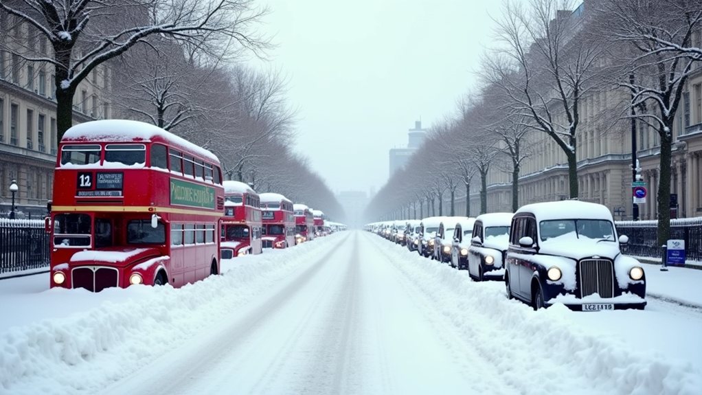
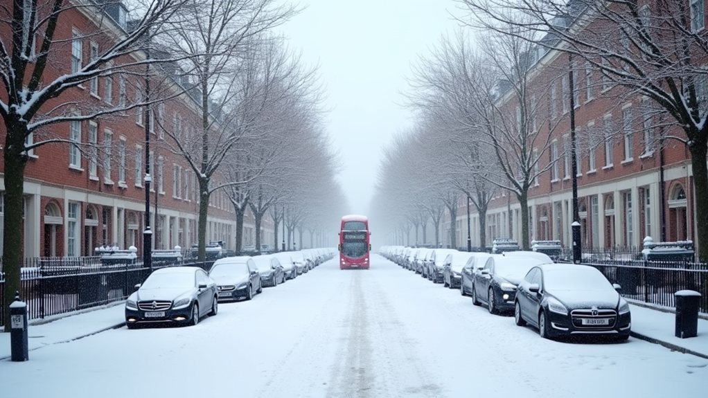
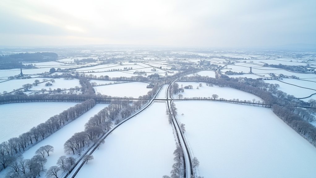
While the headlines might suggest widespread heavy snow, the reality appears more nuanced. Northern and central areas will likely experience colder, showery conditions with potential impacts from ice, sleet, and snow, while southern regions may see frost and ice without significant snow accumulation. This winter’s landscape currently appears green and soggy rather than white, resembling autumn more than the traditional winter scene. Meteorologists are predicting a grey Christmas instead, with some sunny spells and extremely mild temperatures throughout the holiday.
The situation remains finely balanced, with the exact position of the snow line varying between forecast models, making precise predictions challenging beyond confirming the general wintry turn expected after Christmas.