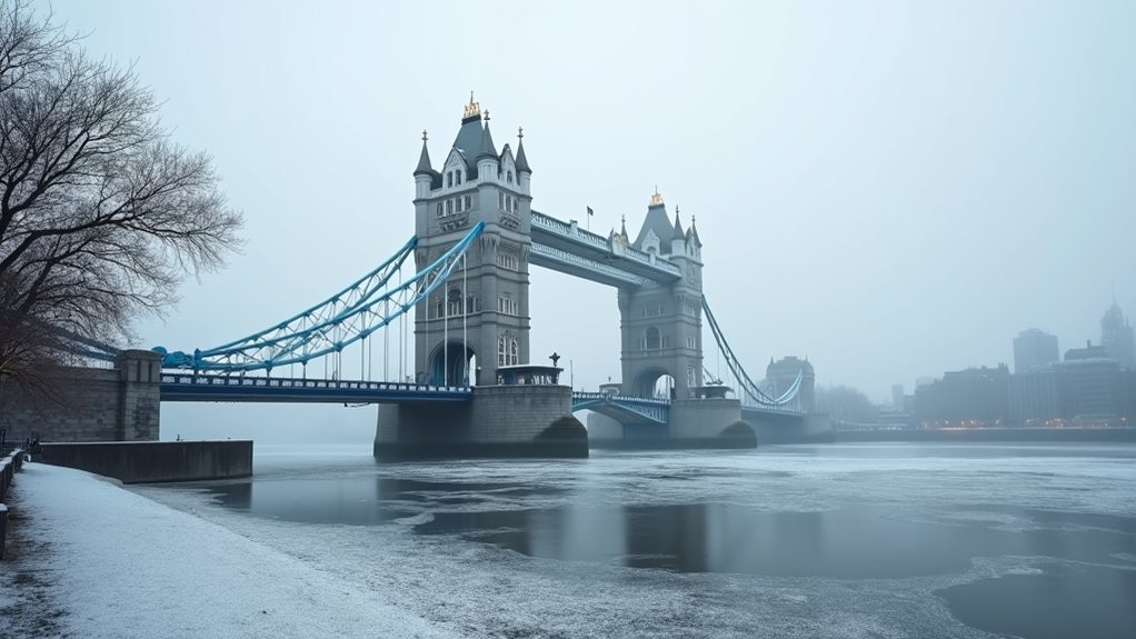

Meteorologists are tracking a potential “snow bomb” threat for London as a massive Arctic blast prepares to plunge temperatures 12-15°C below seasonal averages across much of Europe. The British capital currently sits at the core of a cold pool that is expected to intensify as polar air pushes southward from the Arctic Circle toward the Mediterranean in the coming days.
London braces for potential “snow bomb” as Arctic air threatens to send temperatures plummeting across Europe.
Weather experts point to a Greenland high-pressure ridge that has restructured the jet stream into a meridional flow, channeling frigid Arctic air across the continent. This pattern shift marks a significant departure from the previously mild conditions experienced across Western Europe, with London positioned directly in the path of this dramatic temperature drop. This weather pattern is part of a larger disruption caused by a Stratospheric Warming event that’s increasing Polar Vortex instability.
The most concerning development involves a secondary deep-layer Atlantic winter storm forecast to target Western Europe late next week into the weekend. Model data suggests this system could develop into a named storm with central pressure potentially dropping to the 960-970 hPa range. Such intensity would likely deliver snow down to sea level in areas that typically experience milder winter conditions.
Meteogram charts reveal dynamic winter storm activity following the weekend, with persistent cold air creating favorable conditions for snowfall in London and surrounding low-lying areas. The timeline shows the Arctic blast maintaining its grip through mid-January across Europe, with Friday bringing a return of zonal flow and an intense Atlantic storm system Friday into Saturday.
This winter event extends well beyond London, with the Balkans and Eastern Europe expected to face “Balkan Snow Bombs” – Mediterranean cyclones that trigger deep low-pressure systems tapping southern moisture to produce blizzard conditions.
Meanwhile, Southwestern Europe will also experience the 12-15°C temperature plunge. The forecast pattern represents a significant shift in the European winter outlook, with the massive Greenland ridge expanding over the North Atlantic forcing Arctic intrusions southward.
Residents across affected regions should prepare for potentially severe winter conditions as this weather pattern unfolds.